
City Centre to Clontarf Public Realm & Cycle Project – June 2020

Officials from the Environment & Transportation Department of the City Council convened a meeting of the Dublin Central and North Central Area Committees yesterday to provide a briefing on the planned City Centre to Clontarf Cycle Route.
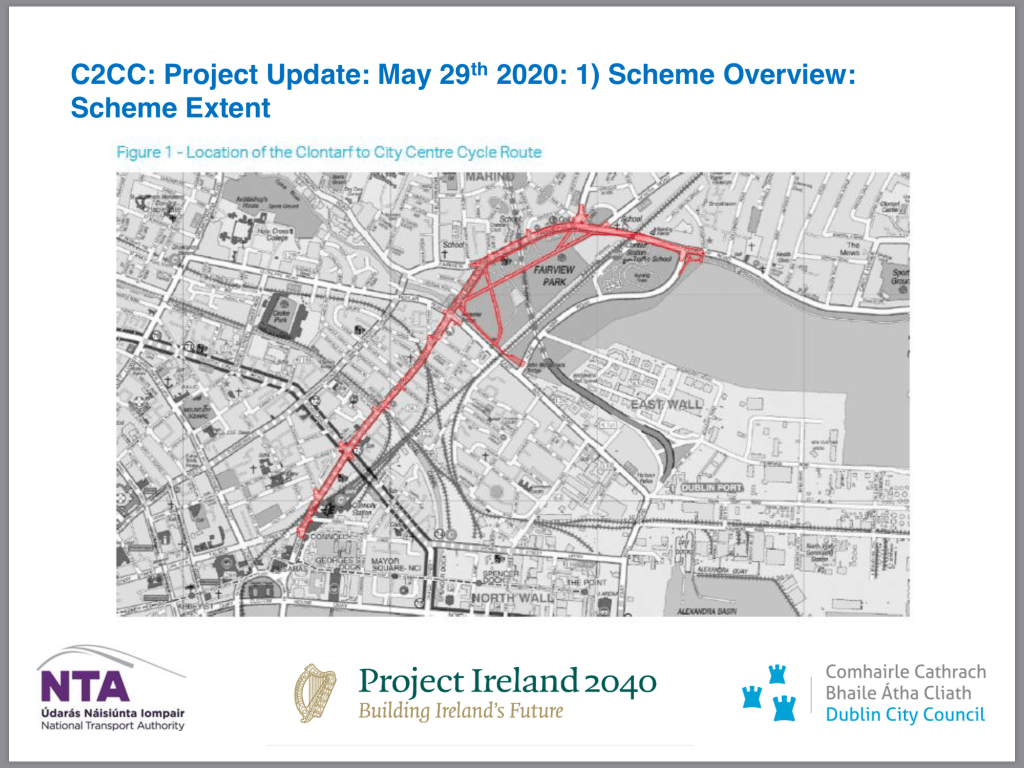
This project was initially included in the National Transport Authority’s Greater Dublin Area Cycle Network Plan 2013 with outline planning permission granted by Councillors in 2017. Significant detailed design works have been ongoing for the last three years with regular briefings for Councillors and relevant stakeholders. Huge work has been done to improve pedestrian and cycling safety at the junctions like the Five Lamps, Malahide Road among others. However, this is a project that has developed into much more than simply a cycling project but rather a large scale public realm enhancement Programme.
All in all, the scheme will include:
⁃ 5.4km of segregated cycle tracks plus 0.5km of Tolka Greenway
⁃ Upgrade 4.4km of existing bus lanes
⁃ 1km of new bus lanes
⁃ Upgrade 9 signalised junctions, including provision of 4 additional signalised pedestrian crossings
⁃ Pavement reconstruction – approx. 24,700m2
⁃ Upgrade approx. 170 public lighting units
⁃ Approx. 30 new public lighting units
⁃ Replace approx. 5,900m of water mains
⁃ Lay approx. 3,000m of surface water spine sewers and construct approx.50 sustainable drainage bio-retention areas.
⁃ Planting of 133 new trees – 86 trees to be removed during works
So, in addition to the significant benefits for cycling and cyclists, this project will ensure Dubliners enjoy:
⁃ A faster and more efficient bus service
⁃ Enhanced footpaths and pedestrians crossings, something I campaigned for in the 2019 Local Elections
⁃ Greatly improved public spaces along the route
⁃ New walking and cycling routes in and around Fairview Park and improved access and links to East Wall and Alfie Byrne Road
⁃ Significant drainage improvement works with almost 6km of new drainage infrastructure being laid, particularly important for the North Strand, given its recent history with flooding.
I know that many cyclists who have been in touch with me are excited about this project. They tell me this route has the potential to the best on-road cycle route in the country. Protected cycle tracks at junctions are included, Dutch style continuous footpath designs, Island bus stops which will avoid conflict between buses and cyclists. All in all, this should deliver the better and much safer cycling environment many have long called for, thereby enabling parents with younger kids to cycle safe in the knowledge that it is safe to do so.


The construction period will involve some traffic management changes and the following indicative map detailing these proposals were shared with myself and my colleagues:

The preferred traffic alternatives include:
⁃ Cycle lanes maintained in both directions along route, except at Loop Line Bridge.
⁃ Inbound bus lane maintained along route.
⁃ Outbound general traffic lane maintained along route.
⁃ Inbound general traffic diverted via Fairview Strand, Ballybough Road, Summerhill Parade, Summerhill, Gardiner Street Lower and Beresford Place.
⁃ Bus lanes to be marked on Portland Row, Summerhill Parade, Ballybough Road and Poplar Row but existing off-peak parking to be maintained.
⁃ Outbound buses may use either the general traffic lane (with bus priority signal at Five Lamps) or diversion route via Ballybough.
⁃ Anticipated duration of diversion: 16 – 24 months.
Following on from the presentation yesterday and my contribution at the meeting, I have made some suggestions to the Engineers involved in finalizing further the design of the project prior to seeking tenders from potential contractors. These suggestions relate:
⁃ The effectiveness of the Dutch style continuous footpath design given the volume of cars and other vehicles at specific junctions
⁃ The capacity of the cycle lanes given that at some points along the route that they will reduce to only 1.4 metres in width.
⁃ The need for a retaining wall at James Larkin House along North Strand Road.
⁃ The need for additional information about existing traffic counts on the alternative routes contained in the preferred traffic management options.
Overall, I support this project. It’s potential is significant. Yes, for cyclists and walkers but for all users of public transport. I know that the construction period may prove difficult as times, as is the case with many building or infrastructural projects, but I am confident that issues can and will be addressed quickly and effectively. As your local City Councillor and Chair of the Council’s PLanning & Urban Form Strategic Policy Committee, I will be eager to see a liaison group established involving residents and businesses locally so that they and you can get regular updates first-hand, as opposed to hearing information second hand and it being related with a particular slant on things. I’ll follow up with this and provide an update in due course.
I’d welcome any feedback you may have or any questions that you may want to put to me. As always, email me at RayMcAdam@gmail.com.
Categories
Ballybough, City Centre, Clonliffe Road, Dublin City Council, Fine Gael, North Strand, North Wall, Planning, Transportation
raymcadam View All
Fine Gael Councillor - North Inner City
Chair, Urban Form & Planning Strategic Policy Committee
